Making complex data accessible
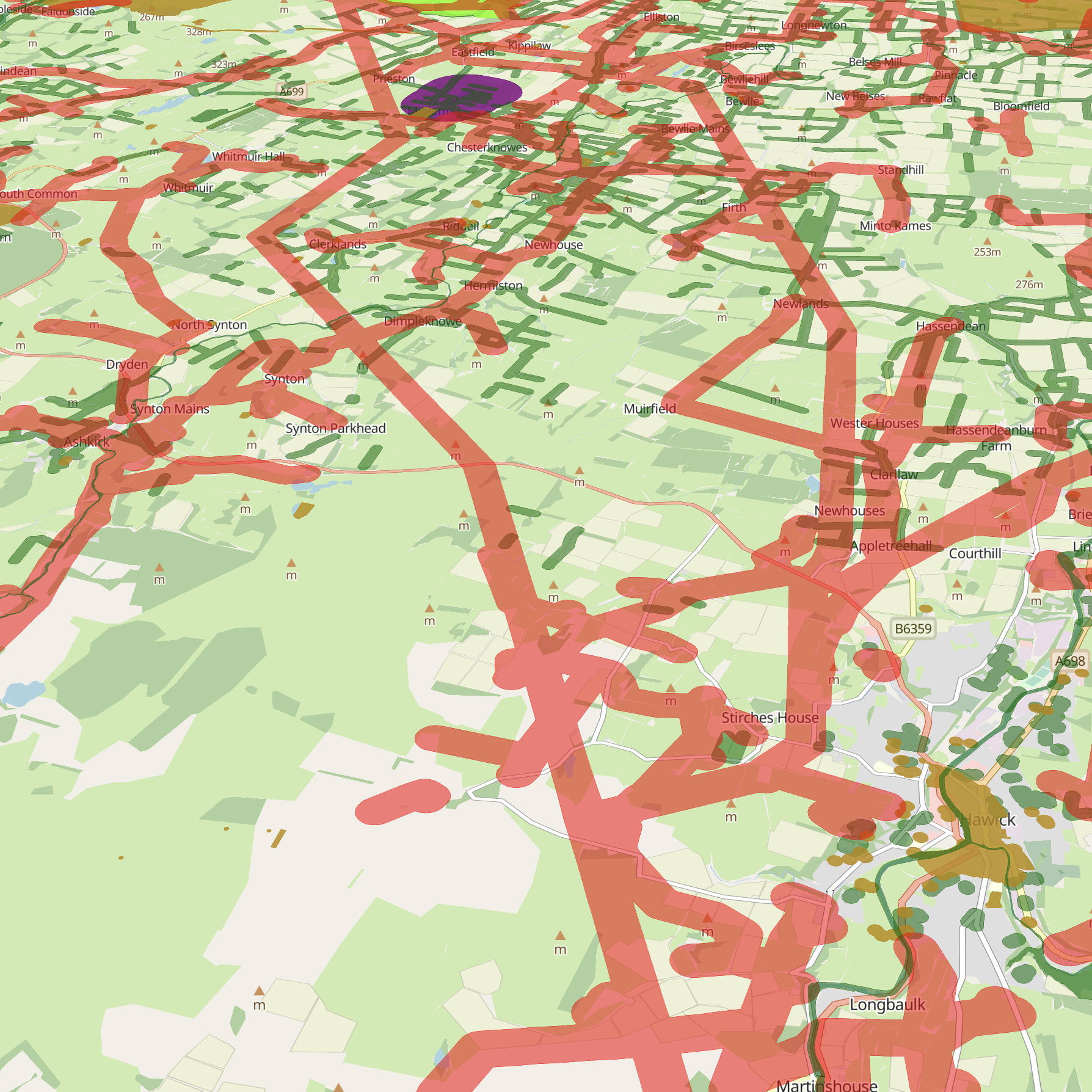
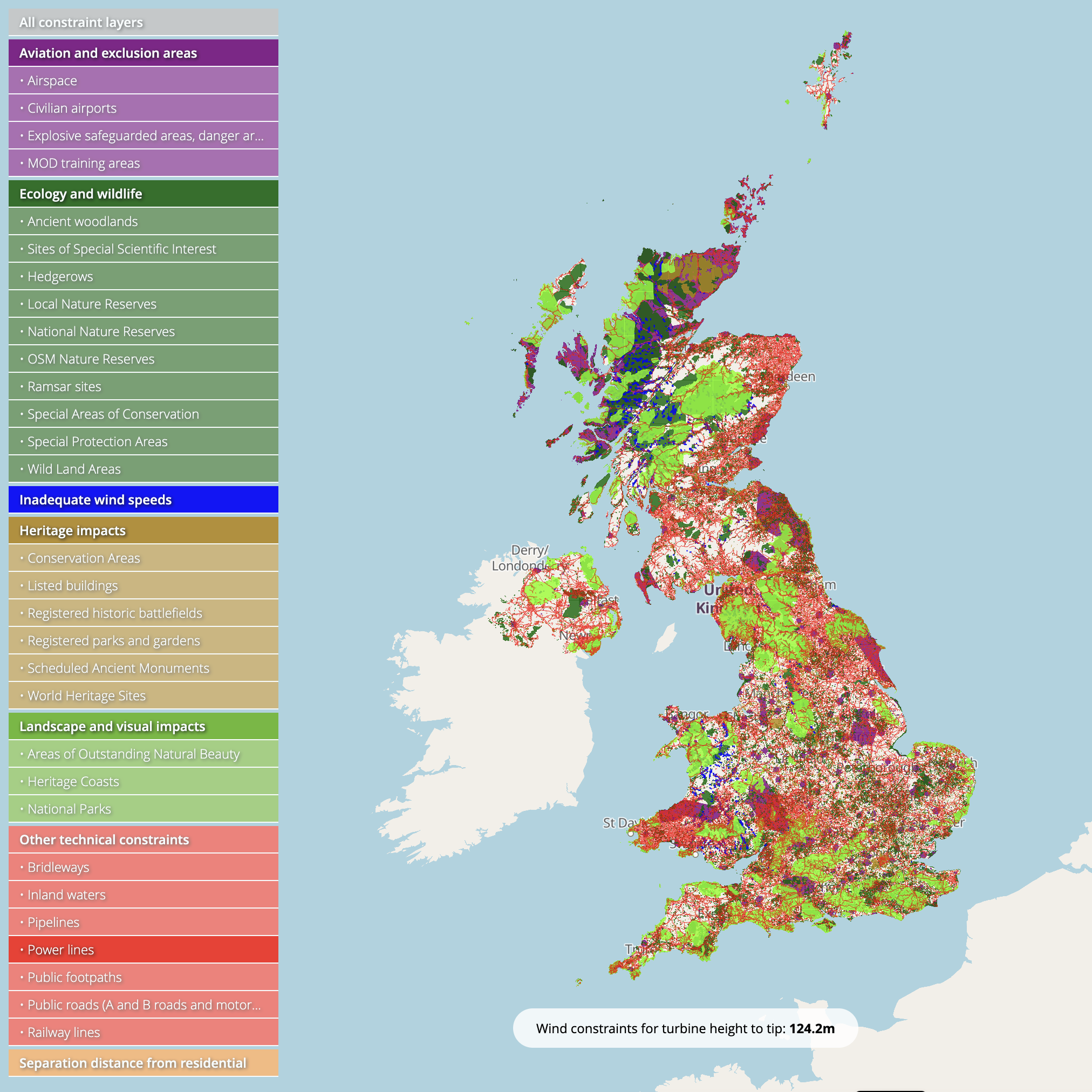
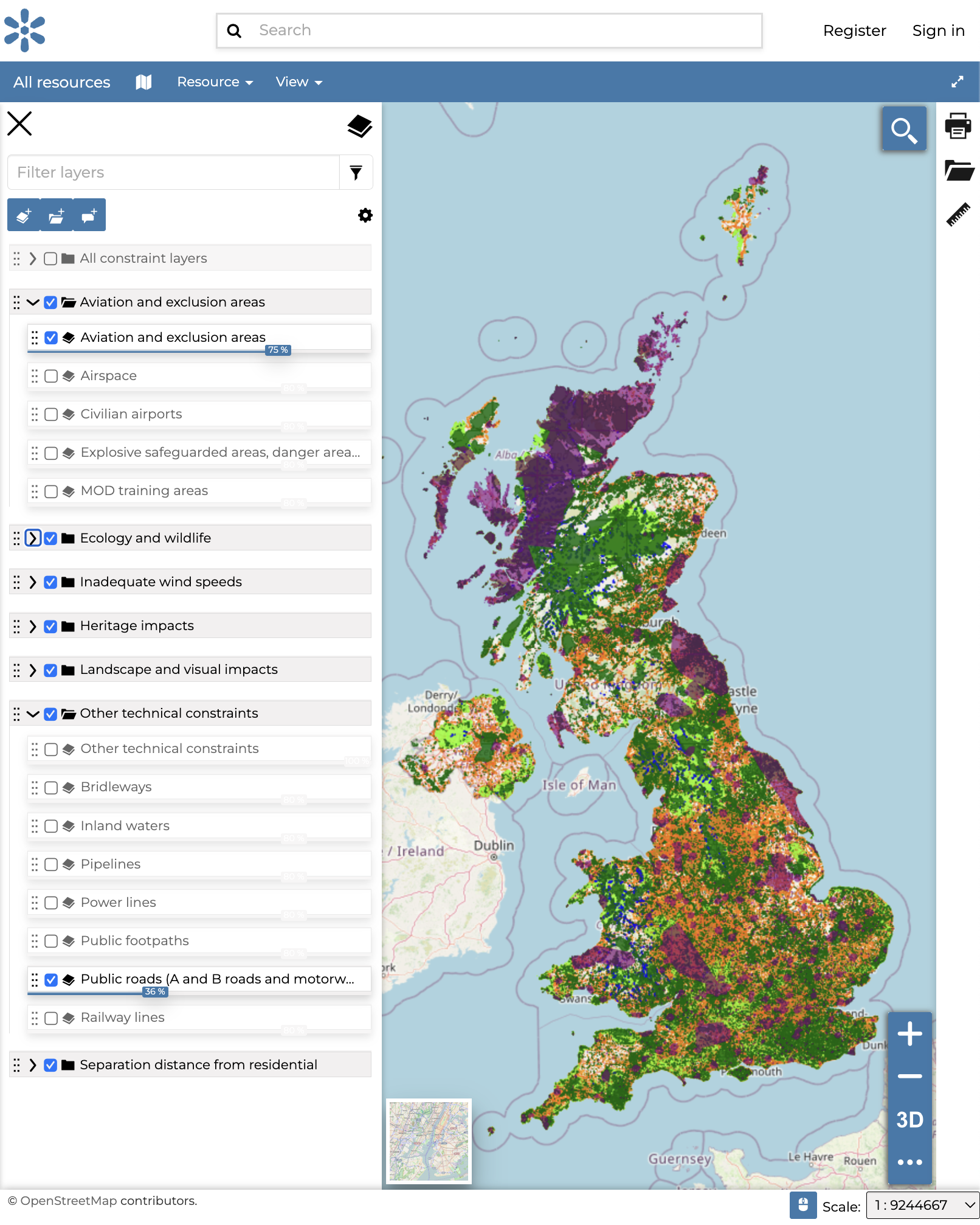
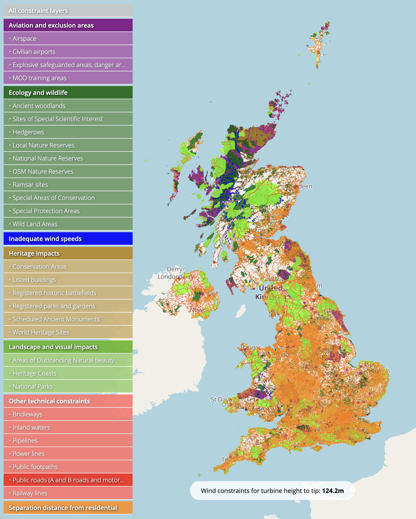
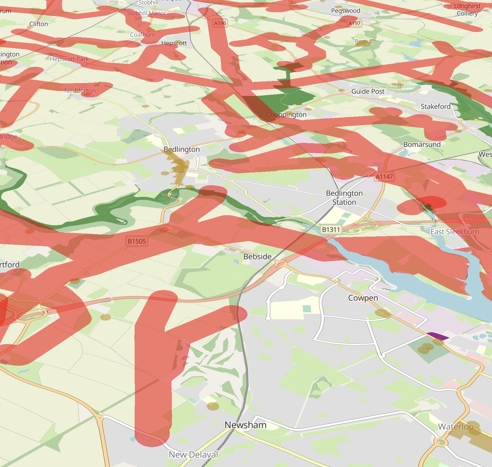
Selecting appropriate sites for onshore wind turbines is often complicated and time consuming. Open Wind Energy leverages a fully open source approach to wind site selection so individuals and organisations save time selecting the best sites.
Need to know
Here are some of the most frequently asked questions about Open Wind Energy. To get in touch, email us at info@openwind.energy
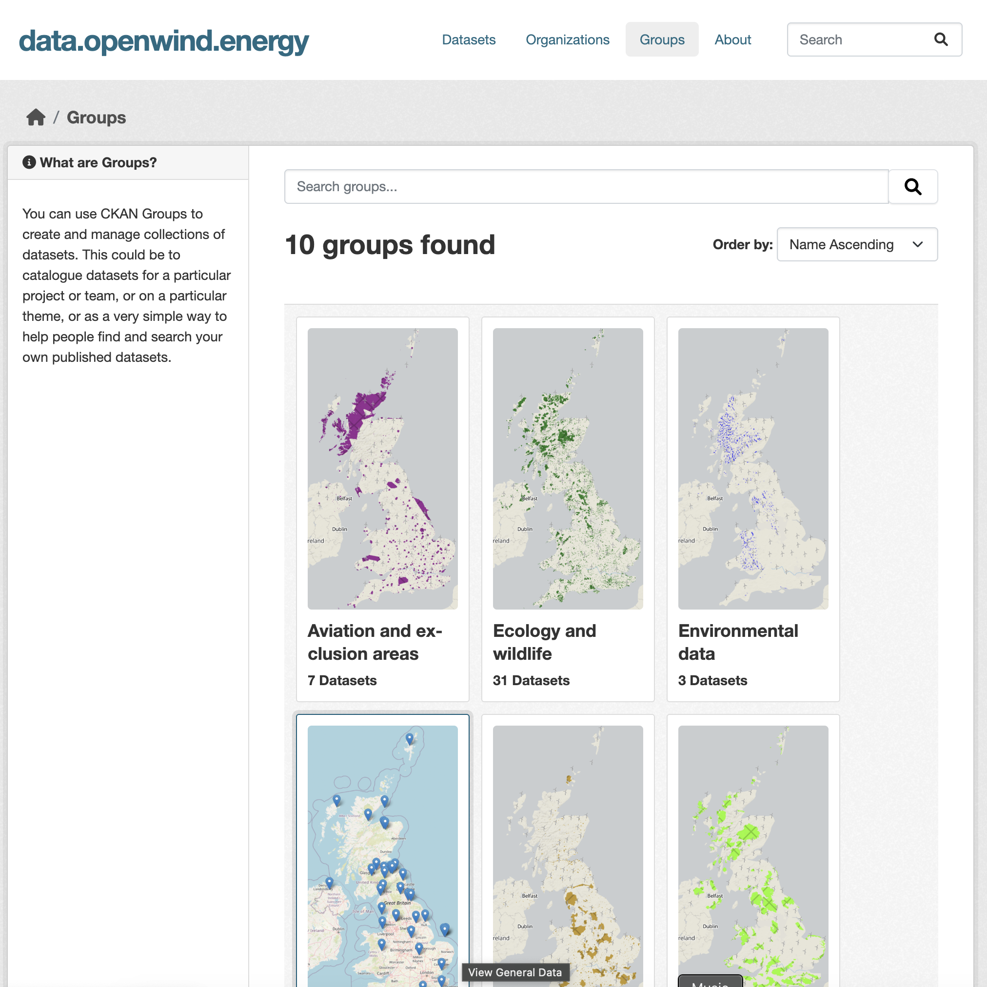
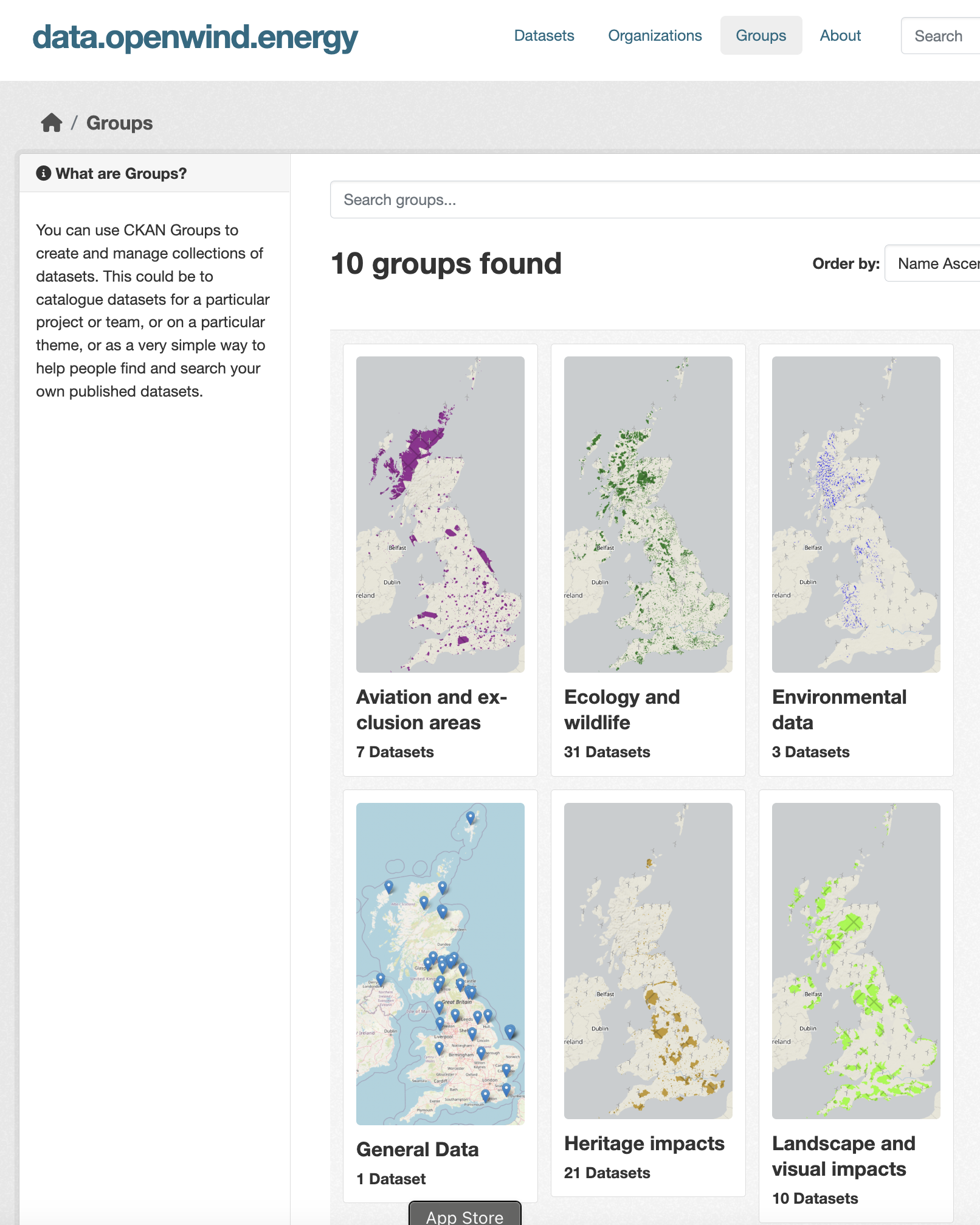
No! Just go to map.openwind.energy to start using the Open Wind Energy data layers.
It will take between 10 and 20 hours to generate the final Open Wind Energy GIS layers. This includes downloading all the required datasets from across the UK and carrying out computationally intensive spatial dissolves.
Good point! There are so many wind site maps out there already…
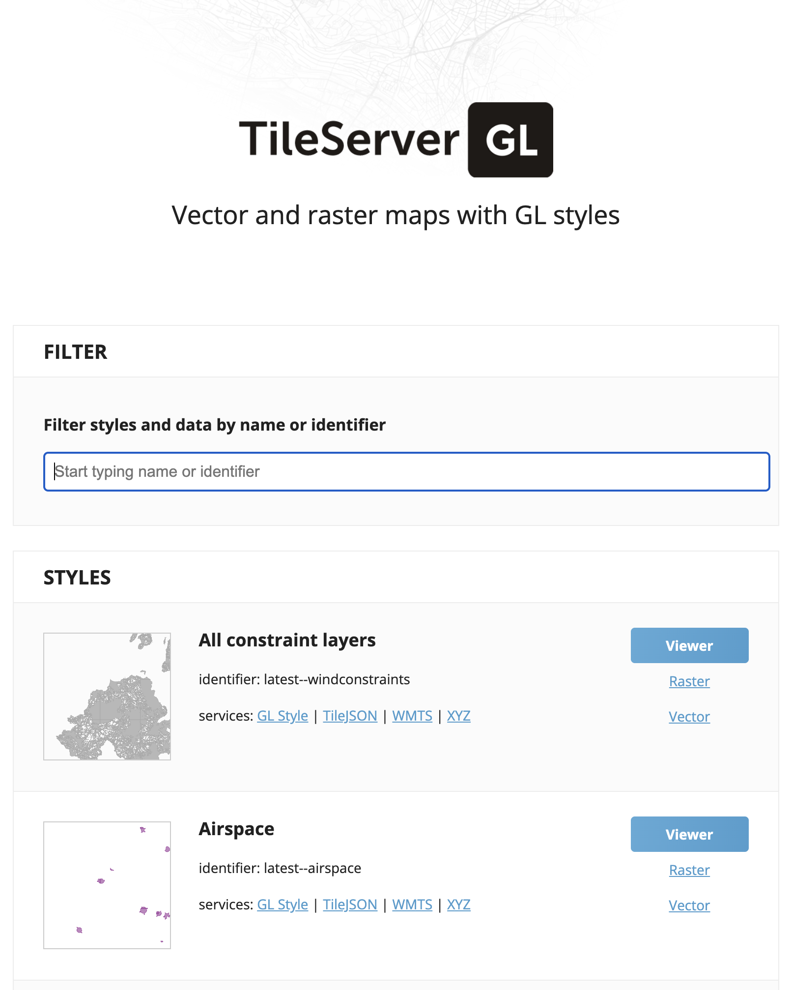
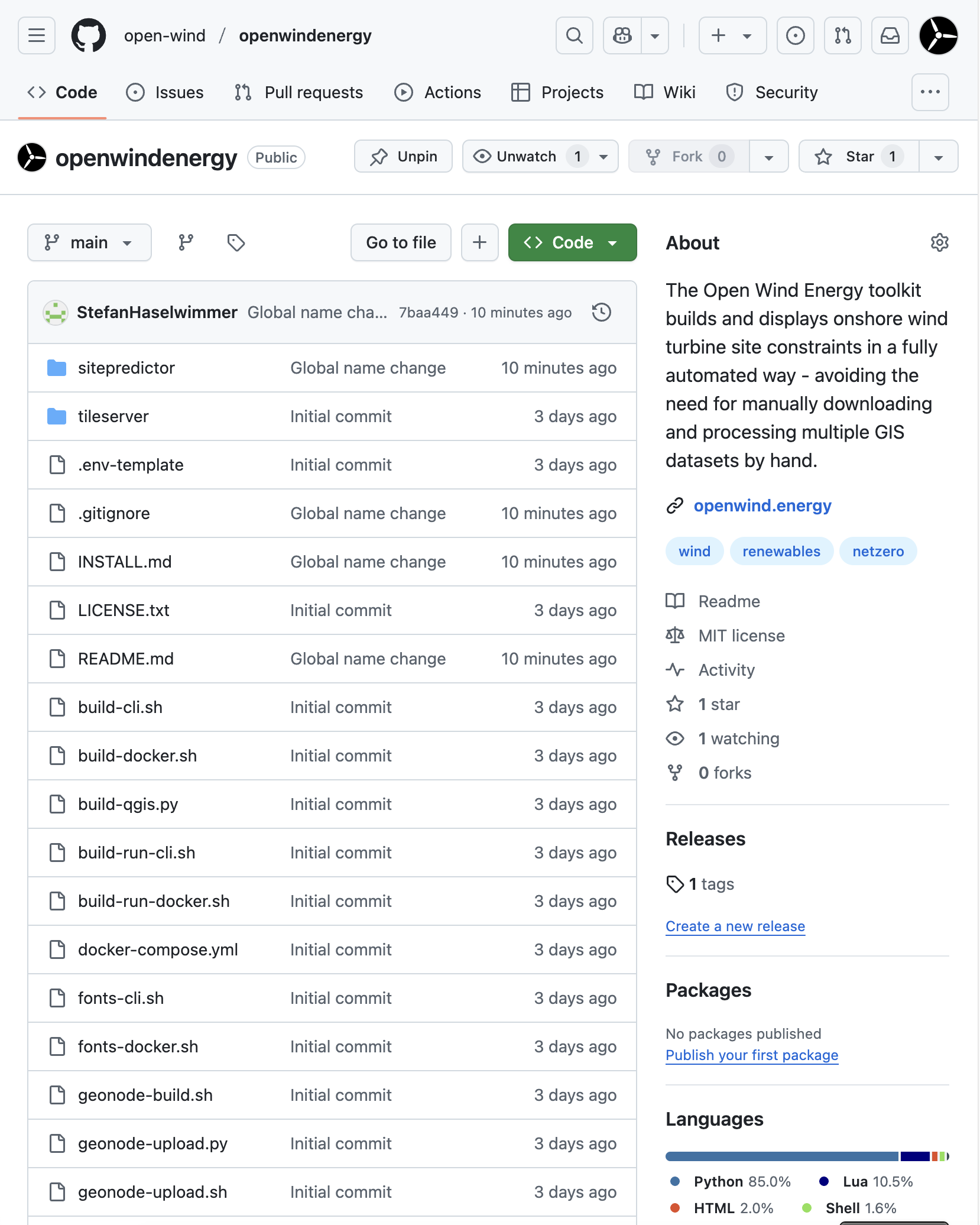
If you already create a wind map, feel free to use all or any of our underlying technology or processes. We’ve tried to make it as streamlined and efficient as possible and use the very best technologies and solutions.
More generally, our strategic goals are:
- To see more wind projects in the UK.
- To standardise and streamline the process as much as possible so that everyone – from community groups and wind developers through to local authorities and electricity networks – use the same underlying datasets and methodologies.
So if you think you have a better methodology, please get in touch so we can incorporate it into our data pipeline. Or… set up your own open data portal and data pipeline and we’ll happily redirect our website to yours!
Collaboration is key to achieving Net Zero, so if you’re interested in working with us, drop us an email at info@openwind.energy
Updates
Sign up for updates about Open Wind Energy.
News
© Copyright – Open Wind Energy, 2025
Source code released under Open Source MIT Licence